CARTOGRAPHIC FIELD REGISTER • 2026 EDITION

NORTH ATLANTIC ISLANDS. MAPPED CLEARLY.

Operational reference for smaller island systems between 48°N and 66°N latitude. Geography, terrain structure, local settlement density, transport interfaces, and rapid maritime weather shifts stated without promotional fluff.

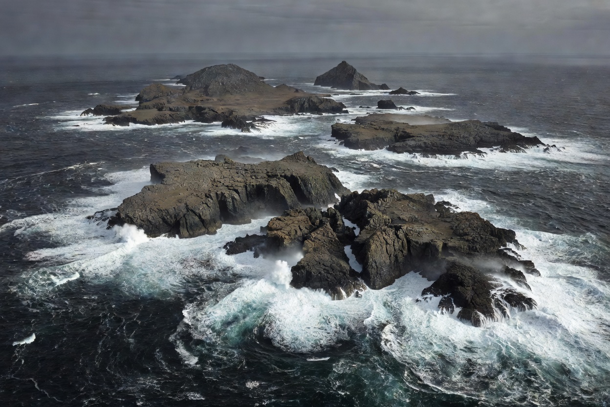
Rugged barren North Atlantic island chain viewed from high elevation with dark ocean swell
ISLAND ARC OVERVIEW • 48°–66°N TERRAIN: GLACIATED BASALT & OCEAN SWELL

FIELD ANALYSIS PROTOCOL

ISLAND → LANDSCAPE → ROUTE → WEATHER → CULTURE

Five distinct layers govern every North Atlantic landfall. Assess each layer sequentially before scheduling transport.

01 / GEO

ISLAND

Coordinates, spatial boundary, isolation index, ocean basin position, tectonic grounding, and mainland transit distance.

LATITUDE: 48°–66°N
02 / TERRAIN

LANDSCAPE

Basalt sea stacks, glacier-gouged fjords, peat moorlands, scree slopes, exposed cliffs, and barren headlands without trees.

RELIEF: 0–1400M
03 / TRANSIT

ROUTE

Open-ocean roll-on ferry lines, short-field Twin Otter airstrips, single-track access spurs, and harbor sea-surge thresholds.

BUFFER: 24–48 HRS
04 / MET

WEATHER

Gale cyclonic depressions, sudden sea fogs, heavy horizontal precipitation, subpolar maritime chill, and daylight extremes.

WIND: GALE FREQUENT
05 / HABITAT

CULTURE

Small harbor settlements, inshore fishing stations, sheep pasture regimes, vernacular peat-wall masonry, and tightly knit civic life.

COMMUNITY: <2,000 PER ISLE

COMPREHENSIVE DOSSIERS

FIVE CORE INVESTIGATION MODULES

Each directory item contains geographic assessments, terrain metrics, local community logistics, and seasonal hazards.

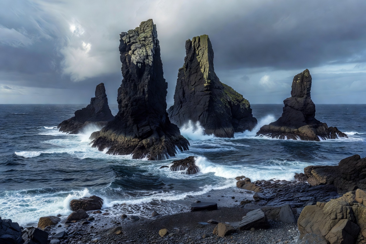
Rugged rocky North Atlantic shoreline with steep basalt sea stacks rising from choppy blue water
TOPIC MODULE 01 • TAXONOMY & SCOPE

NORTH ATLANTIC BASIN • 48°N TO 66°N

North Atlantic Islands Overview

Smaller islands across the North Atlantic share extreme exposure, oceanic microclimates, and isolation. This module catalogs island distribution across the Hebrides, Faroes, Westman archipelago, and coastal subpolar belts.

ISLAND COUNT 40+ Analyzed
TERRAIN BASE Basaltic & Gneiss
POPULATION 50 to 18,000
KEY HAZARD Swell & Wind Isolation
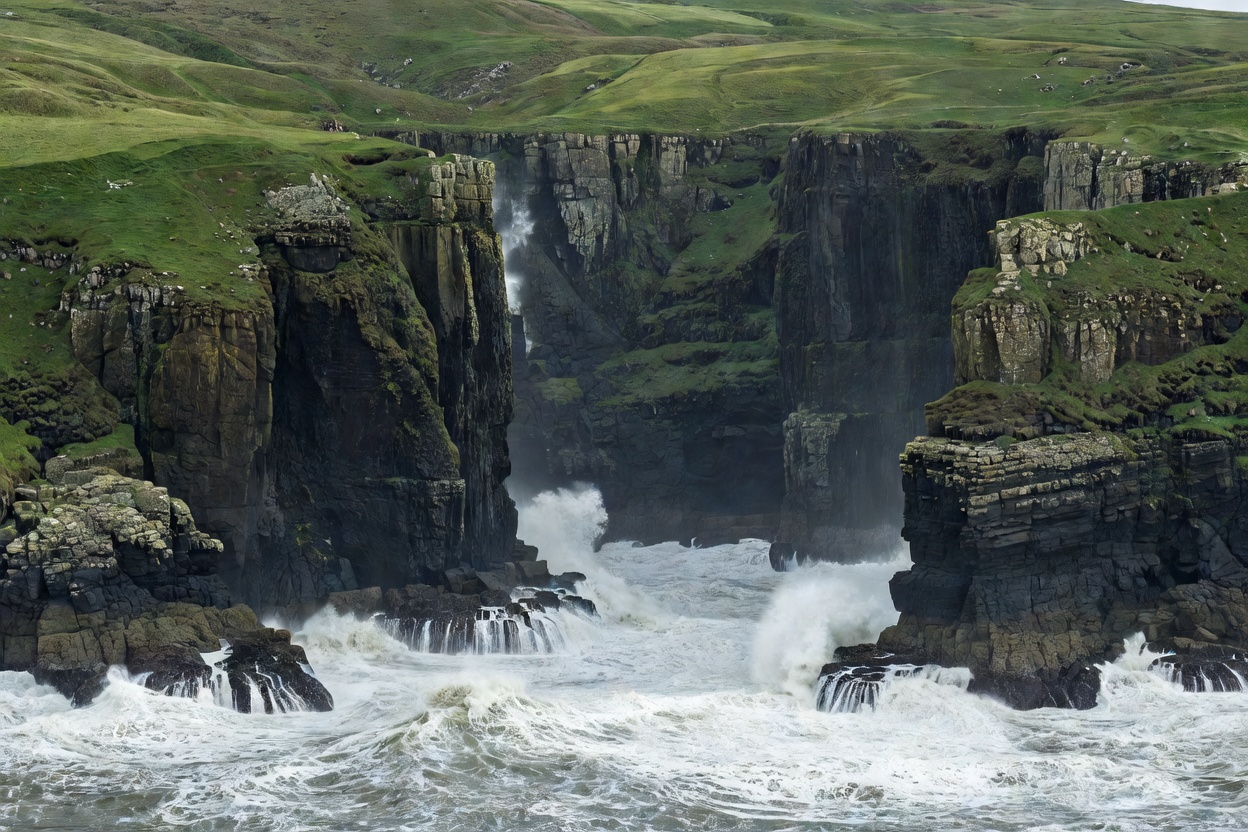
Massive sheer ocean cliffs dropping into churning grey surf with green upland peat slopes
TOPIC MODULE 02 • GEOMORPHOLOGY

COASTAL CLIFFS • FJORDS • SCREE UPLANDS

Island Landscapes & Geography

Tectonic rift volcanism and heavy Pleistocene glaciation created vertical sea palisades, hanging valleys, and raised marine beaches. Vegetation is dwarf-shrub tundra, heather, and grazed turf devoid of tree cover.

MAX SEA CLIFFS Up to 750m Sheer
SOIL TYPE Acid Peat / Regosol
TREE COVER < 1% Native
EROSION RATE High Coastal Recess
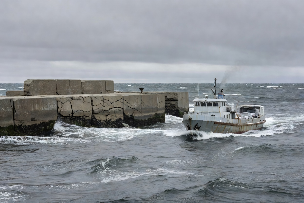
Small passenger vehicle ferry approaching a concrete breakwater pier in a cold northern sea
TOPIC MODULE 03 • TRANSIT LOGISTICS

PASSENGER FERRIES • SHORT AIRSTRIPS • TIDE GATES

North Atlantic Island Travel

Movement between small North Atlantic islands depends entirely on sea-state windows and visibility minimums. Single-vessel routes require built-in contingency days. Luggage weight rules on feeder flights are strictly enforced.

BUFFER REQUIREMENT 24–72 Hours
PRIMARY CRAFT Ro-Pax & STOL Twin
GROUND TRANSIT Single-Track Roads
SUPPLY CYCLES Twice Weekly Average
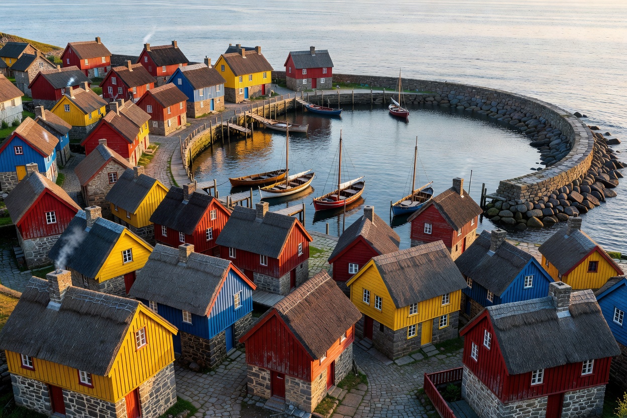
Cluster of small colorful wooden and stone houses clustered around a protected harbor basin
TOPIC MODULE 04 • HUMAN SETTLEMENT

FISHING SETTLEMENTS • CROFTING DISTRICTS

Island Culture & Communities

Permanent populations maintain self-reliant civic structures rooted in commercial pelagic fishing, inshore lobster gear, and seasonal sheep farming. High winter isolation fosters intense community cooperation and dialect survival.

ECONOMIC CORE Pelagic & Demersal
SERVICES Harbor Store / Clinic
SUMMER INFLUX +200% to +400%
HOUSING TYPE Harbor Frontage
Storm clouds hanging low over open ocean with wind-whipped white sea spray against dark rocks
TOPIC MODULE 05 • METEOROLOGICAL PATTERNS

CYCLONIC DEPRESSIONS • MARITIME ADVECTION

North Atlantic Island Weather

Thermal regulation from the North Atlantic Drift keeps coastal sea temperatures relatively stable while allowing violent low-pressure storms. Wind gusts exceed Force 9 frequently from October through March.

WIND SPEED RANGE 15 to 65+ Knots
ANNUAL RAIN DAYS 200 to 280 Days
SUMMER PEAK 12°C to 16°C
DAYLIGHT SHIFT 5 Hours to 20 Hours

COMPARATIVE MATRIX

NORTH ATLANTIC ARCHIPELAGO PARAMETERS

Direct factual metrics for primary smaller island groups across the North Atlantic quadrant.

Archipelago / Group Approx. Latitude Geological Base Primary Access Port Winter Sea State
Outer Hebrides (Scotland) 57°45'N Lewisian Gneiss Ullapool / Oban Heavy Atlantic Swell (4–7m)
Faroe Islands (Autonomous DK) 62°00'N Paleogene Basalt Tórshavn / Vágar Severe Cyclonic Wind Runs
Vestmannaeyjar (Iceland) 63°25'N Recent Volcanic Basalt Landeyjahöfn Ferry Drifting Sand Harbor Shifts
Lofoten / Vesterålen (Norway) 68°15'N Precambrian Granite Bodø / Svolvær Sheltered Vestfjorden / Open Shelf
Magdalen Islands (Canada) 47°25'N Red Permian Sandstone Souris / Cap-aux-Meules Seasonal Pack Ice Accumulation